 |
| Cap Map |
Resources and Articles
The Harvard Map Collection offers a story map of its current exhibition, Manuscript Maps.
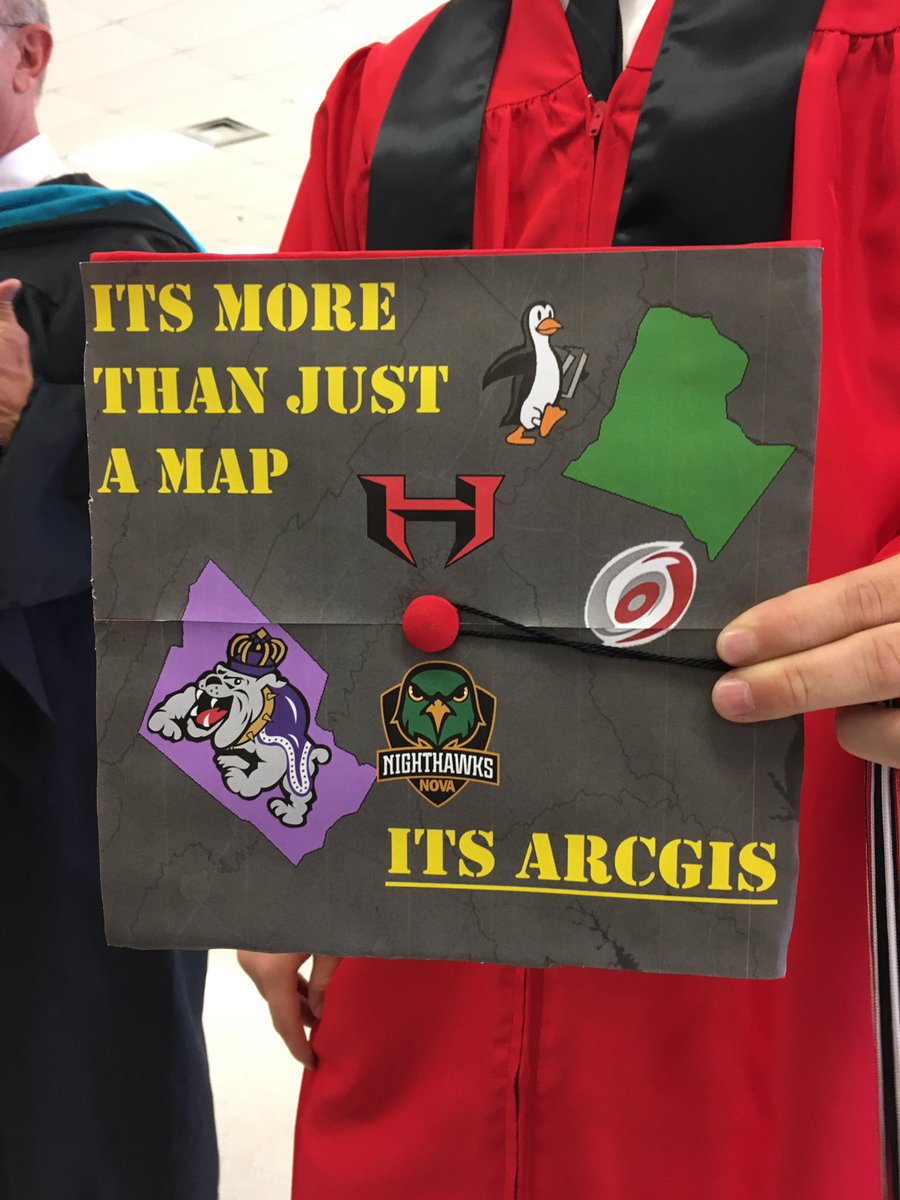
At right is a graduation cap tweeted from Loudoun County (VA) Public Schools Geospatial Science program (@LCPS_GIS). The student in question included two counties on the mortar board: Loudoun (left) and Rockingham (right, home to James Madison and Geospatial Semester). I'd be ok with the lower text being "It's GIS."
Consumer Reports: Car Insurance Companies Charge Higher Rates in Some Minority Neighborhoods - An April 2017 report from ProPublica asserts: "First-of-its-kind data analysis finds price differences that can't be explained by risk alone."
The three new 2017 Esri GeoInquiry collections are now available. There are 45 new maps and activities and over 250 new data services supporting K12 educators posted. And, all of the GeoInquiries are under a Creative Commons NC SA license.
On Tuesday Google released an interactive map, Lynching in America, that details the history of racially-motivated lynchings. A collaboration between the Equal Justice Initiative and Google.org, the map illustrates the extent to which violence against African-Americans shaped the history and makeup of the United States.
A Redditter shares impressions from the latest GISCI exam.
GEOINT 2017 videos of plenary, sessions and interviews are available. I'd consult the program to search for topics of interest; there's little searchable metadata on the video site.
Hey Alums!
Dave MacLean, GIS Faculty at COGS, invites graduates of that fine institution to participate in the school's "where are grads" map. Last I looked there were 412 pins!
The MSU GEO Advisory Board (via @MSUGEOAlumni) is asking all MSU GEO alums and friends to take a quick survey.
Questions
Safe Software sponsored the Simon Fraser University Technovation Challenge as part of the company commitment to supporting youth, education and the future of technology in British Columbia. More than 200 young women, 10 – 18, worked for 12 weeks with mentors to develop mobile apps. They coded but also built a business plan and marketing strategy. Each team had to pitch their apps to a panel of judges included Safe’s co-founders, Don Murray and Dale Lutz. Via blog.
Back in May, Esri Thailand partnered with King Mongkut’s University of Technology Thonburi (KMUTT) to collaborate in fostering the GIS development by establishing a GIS Excellence Center. Via press release.
Students Map
Sounds of shoppers in busy markets, cooking in restaurants, and noisy street construction can all be found on the Vancouver Chinatown Sound Map, a creation of University of British Columbia student Angela Ho. Via CBC.
An 18-year-old girl from Des Moines, WA, Maddy Rasmussen mapped abortion clinics in the United States for a site called the Safe Place Project. She was interning for Legal Voice, an organization that "uses the law to make changes for the most marginalized communities." The website includes the interactive map that shows the name, address, and phone number of every abortion clinic in the United States. via Teen Vogue.
Delta State University student Jenny Leblanc, is mapping graves in Columbus' historic Friendship Cemetery. Her data may one day be in a mobile app that allows for a self-guided tour. via Columbus Dispatch.
A new mobile app created by the Penn State research group ChoroPhronesis (made up of at least some graduate students) offers an interactive virtual tour of class gifts and public art across campus. There's a beta available for Android. Via Penn State News.
Programs, Courses and More
The New Hampshire Educational GIS Partnership will offer a series of institutes this summer spread across multiple locations designed to help NH teachers to learn how to use GPS and GIS in the classroom.
Educators at Palomar College in San Marcos, and Southwestern College in Chula Vista, California received a nearly $800,000 The National Science Foundation (NSF) grant to expand education for the growing UAV market. Via LinkedIn.
The MSU GEO Advisory Board (via @MSUGEOAlumni) is asking all MSU GEO alums and friends to take a quick survey.
Questions
Chris Akin asked #GISTribe for a "a checklist for grading map outputs." He got a few answers here. Anyone else have suggestions?
Supporting GIS Education
Safe Software sponsored the Simon Fraser University Technovation Challenge as part of the company commitment to supporting youth, education and the future of technology in British Columbia. More than 200 young women, 10 – 18, worked for 12 weeks with mentors to develop mobile apps. They coded but also built a business plan and marketing strategy. Each team had to pitch their apps to a panel of judges included Safe’s co-founders, Don Murray and Dale Lutz. Via blog.
Back in May, Esri Thailand partnered with King Mongkut’s University of Technology Thonburi (KMUTT) to collaborate in fostering the GIS development by establishing a GIS Excellence Center. Via press release.
Students Map
Sounds of shoppers in busy markets, cooking in restaurants, and noisy street construction can all be found on the Vancouver Chinatown Sound Map, a creation of University of British Columbia student Angela Ho. Via CBC.
An 18-year-old girl from Des Moines, WA, Maddy Rasmussen mapped abortion clinics in the United States for a site called the Safe Place Project. She was interning for Legal Voice, an organization that "uses the law to make changes for the most marginalized communities." The website includes the interactive map that shows the name, address, and phone number of every abortion clinic in the United States. via Teen Vogue.
Delta State University student Jenny Leblanc, is mapping graves in Columbus' historic Friendship Cemetery. Her data may one day be in a mobile app that allows for a self-guided tour. via Columbus Dispatch.
A new mobile app created by the Penn State research group ChoroPhronesis (made up of at least some graduate students) offers an interactive virtual tour of class gifts and public art across campus. There's a beta available for Android. Via Penn State News.
Programs, Courses and More
The New Hampshire Educational GIS Partnership will offer a series of institutes this summer spread across multiple locations designed to help NH teachers to learn how to use GPS and GIS in the classroom.
Educators at Palomar College in San Marcos, and Southwestern College in Chula Vista, California received a nearly $800,000 The National Science Foundation (NSF) grant to expand education for the growing UAV market. Via LinkedIn.
The NSF also awarded a three-year, $609,739 grant to the Lewis F. Rogers Institute for Environmental & Spatial Analysis (IESA) at the University of North Georgia (UNG) to develop a curriculum for a new associate degree and a certificate program. Via UNG News.
For Students
FOSS4G 2017 (August 14-19, 2017, Seaport Hotel & World Trade Center, Boston, MA) is looking for up to 65 people to help us stay organized throughout the conference and ensure all workshops, presentations, and events run smoothly. Volunteers will be asked to attend a two hour training session and work a minimum of 12 hours throughout the conference. In exchange for their time, volunteers will have their registration fee reduced to $50 dollars (food coverage). Apply by June 20.